There is a growing need for comprehensive and quality laboratory services in Africa because of the increasing disease burden and the number of outbreaks occurring every year. To provide quality services laboratories must be compliant with key international regulations such as the International Health Regulations (IHR 2005). Geo-spatial mapping of laboratories plays a vital role as an entry point to strengthening laboratory systems and networks, making them quality-assured and capable of supporting disease surveillance, diagnosis and outbreak responses effectively. It provides information about the strengths, potential and gaps in existing laboratories and can help in decision-making for improvements.
Africa CDC is partnering with the African Society for Laboratory Medicine (ASLM) to map laboratory capacities in Africa and to train national experts in laboratory mapping data collection, analysis and visualization.
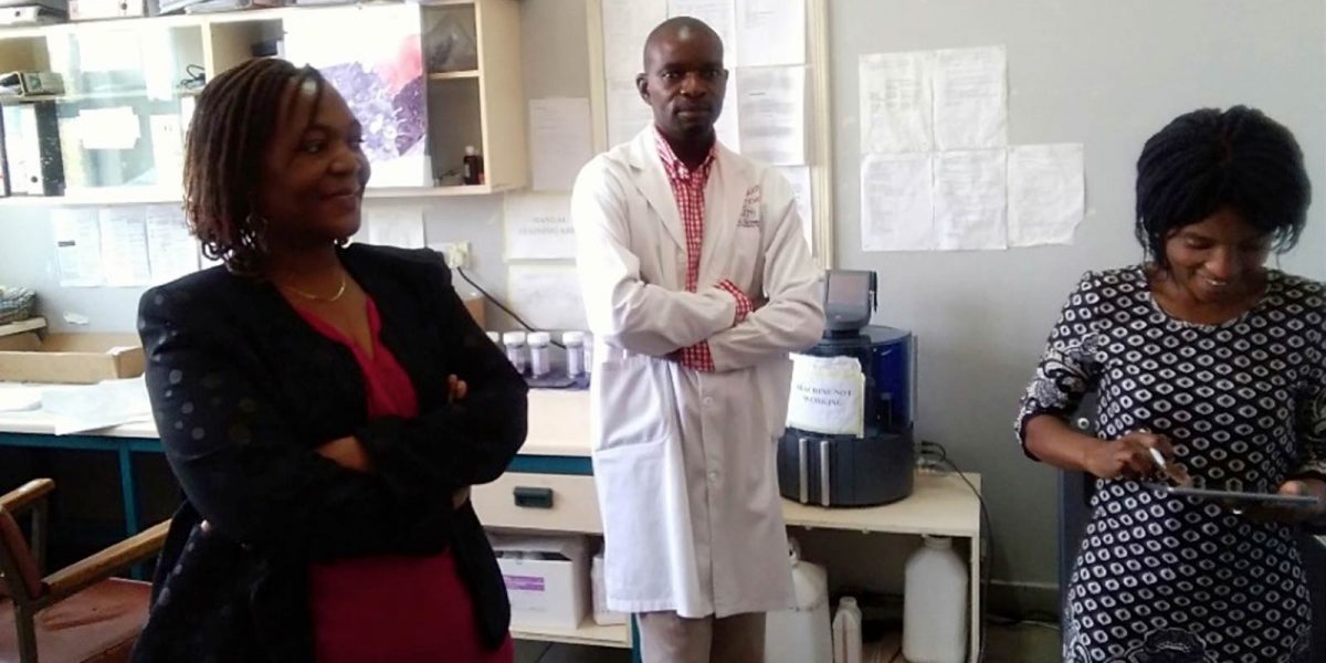
Focus during the initial phases of the programme has been on high level laboratories (public health, reference and regional laboratories) in Central and Southern Africa regions. During Phase 1, data collection for level 3 and some level 2 laboratories was conducted in Cameroon, Central Africa Republic, Chad, Congo Brazzaville, Democratic Republic of Congo, Gabon, Malawi, Sao Tome & Principe, Zambia, and Zimbabwe. In Phase 2, mapping was conducted in the remaining level 2 and some lower level laboratories in these countries.
Data collected from the exercise are being uploaded to a server where countries can access them. Subsequent phases will target other regions and countries across the continent.


